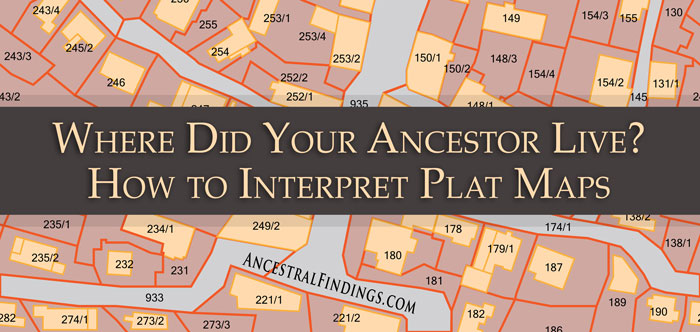
Using maps can not only show you where your ancestor actually lived in the context of history (which isn’t always where you think they lived, or even where they thought they lived), these valuable tools can also show you what the world around them looked like at the time they lived there. This is done with two different types of maps… topographical ones and fire insurance ones. Learning to read these will allow you to get a real picture of what your ancestor’s world looked like, and therefore, what life most likely was like for them there.
Topographical maps will give you the image of what your ancestor’s land or neighborhood looked like as soon as they walked out of their front door. It will let you know what natural features were nearby, and whether it was challenging or easy for them to get around on this land. Were they near or far away from stores, schools, businesses, and churches? Were they close to their neighbors or far away? What land features or landmarks did they have to traverse to get to these places from their house? A topographical map will give you much of this information.
The US government started making topographic maps in the 1880s, so you likely won’t find one for ancestors who lived before that. The topographic maps show all the features of the natural landscape of a place, such as roads, waterways, railroad tracks, mountains, hills, valleys, plateaus, cliffs, and other features. The important takeaway from a topographical map is that the information on it is usually permanent (or at least semi-permanent). It is a part of the natural landscape, so it rarely changes, and it’s a big deal if it does.
Even if nothing is located in the place where your ancestor lived now, a topographical map will still show you what the landscape around them looked like when there were things there. It’s not only natural landmarks, but manmade ones, too, that show up on topographical maps. The churches, cemeteries, roads, and other such things on a topographical map may still be there, allowing you to get a good picture of your ancestor’s world. All you need is a historic neighborhood or land map to superimpose on the topographical map to uncover a wealth of information on your ancestor’s life that you never knew was there.
You should also be using fire insurance maps for a closer look at the finer details of individual neighborhoods. These maps show the street level view of a place. You will find buildings of all kinds there, like churches, factories, schools, homes, outbuildings, alleys, and city streets, to name some of them. If you know the location of your ancestor’s house from verifying its census address with historic and modern neighborhood maps, then fire insurance maps will allow you to prove the property existed, and also to discover its size and the materials from which it was built. That is some pretty detailed information on your ancestor’s house or place of business.
The biggest publisher of fire insurance maps was Sanborn, which began publishing them in 1867. Most US cities and towns had one by the early 1900s. You can find these maps at the Library of Congress, ProQuest (available at some libraries, and at some public, university, and state libraries. Some of these repositories have digital collections, which always makes things more convenient. You will definitely want to put these maps to use in your genealogy.


