Townships were areas that were gridded off using north-south and east-west reference numbers. The sections were placed into halves and quarters. You may find property descriptions abbreviated using things like “NW ¼ SE1/2 S1 T91E R13S.” This means the property was located at the northwest quarter of the southeast half of section one of a township that was located 91 tiers east of a baseline and ranging 13 rows south of a meridian.
If your ancestor’s land ownership document doesn’t use metes and bounds to describe the property and help you locate it on a map, it probably uses either the rectangular survey method or the numbered lots method. There were other methods of describing the land, but these, along with metes and bounds, were by far the most common, and the ones you are most likely to encounter when looking for your ancestor’s property.
If your ancestor bought land from the federal government, it is probably described using the rectangular survey method. This means that the plot of land is most likely described using the surrounding townships, ranges, and sections that the federal government used for their own land ownership record keeping.
You can look up land patents for land purchased or homesteaded from the federal government at the website for the Bureau of Land Management General Land Office Records. You can also map the lands using the rectangular survey descriptors at EarthPoint.us. You will click on the Search By Description tab, then enter the coordinates from the rectangular survey. After that, click Fly To On Google Earth, and the property in its present location will be mapped out for you there.
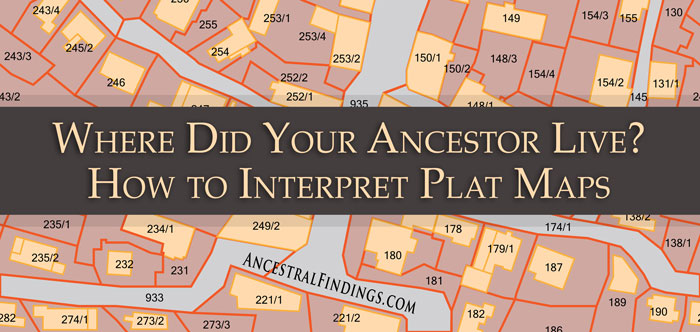
As far as the numbered lots method goes, you will usually find this in property deeds for houses or lots of land in developed neighborhoods. There are sometimes even street addresses included in these types of land deed descriptions. You can put any address into Google Earth and go to it, and possibly see your ancestor’s property on a map if the address hasn’t changed since the deed was made. It is always a good idea to find an old map of the neighborhood from around the time the deed was generated or before, and look at that to determine if your ancestor’s address on a numbered lot deed has changed since they purchased it. If it has changed, you can use Google Maps and Google Street View to navigate yourself to the actual location of the property today, based on where it is located on the older map. You can find old maps of certain neighborhoods by searching online, or by going to a town’s archives, library, or even city hall. Old maps abound in the United States, tucked away in all kinds of hidden corners, and are usually pretty easy to find. Check the old maps for lot numbers. If you can find an old map that also includes property boundaries and owner names, it will be even easier for you to find your ancestor’s property and compare its location to a modern map.


