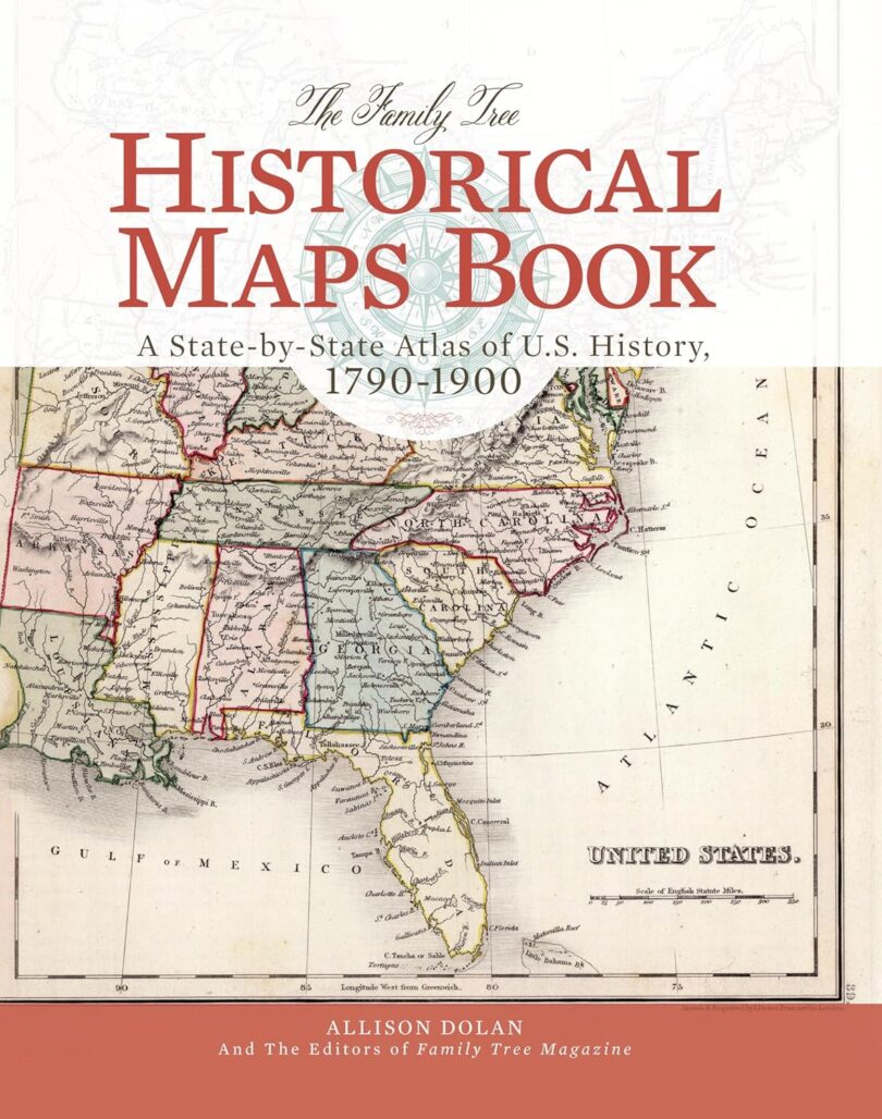
If you’re a genealogist, history enthusiast, or map lover, The Family Tree Historical Maps Book is more than just an atlas—it’s a fascinating journey through time. This book examines how the United States changed from 1790 to 1900, showing territorial expansion, statehood progressions, and shifting county boundaries.
What Makes This Book Stand Out?
A Decade-by-Decade Progression
The book isn’t just a collection of old maps; it presents maps from each decade of the 19th century, making it easy to track political and geographical changes over time. This is especially valuable for genealogists trying to locate ancestors who moved across state or county lines during westward expansion, economic opportunity, or war.
Detailed State and County Maps
Determining where records were kept is one of the biggest challenges in family history research. Because county boundaries changed frequently, knowing which jurisdiction held land, tax, or court records can make all the difference. This book provides full-color maps of every U.S. state, showing these boundary shifts in detail.
Timelines of Significant Events
Each state section includes a historical timeline summarizing key moments such as:
• Statehood dates
• Population growth
• Wars and major migrations
• Social and political changes
For family historians, these timelines provide valuable context about the events that may have influenced an ancestor’s movement or lifestyle.
Charming 19th-Century Panoramic City Maps
One of the book’s most visually appealing features is the collection of 19th-century panoramic maps of major U.S. cities. These artistic bird’s-eye views offer a rare glimpse of urban centers as they appeared before the advent of aerial photography. If you’ve ever wondered what your ancestor’s city looked like in their lifetime, these illustrations provide a fascinating perspective.
Special-Interest Maps
Beyond political boundaries, the book includes unique maps that reveal aspects of American society during the 1800s. These maps highlight:
• Migration trends
• Population distribution
• Major industries and economic hubs
• Taxation levels across different regions
For genealogists and history lovers alike, these maps offer deeper insights into why people settled where they did and what industries shaped their communities.
Who Would Benefit from This Book?
• Genealogists and family historians – Track ancestral migrations, identify key record-keeping locations, and visualize historical landscapes.
• History enthusiasts – Gain a clear, visual understanding of how the U.S. evolved over time.
• Students and educators – A valuable resource for homeschooling, classroom projects, or independent study.
• Lovers of old maps – A beautifully reproduced collection that will appeal to collectors and cartography fans.
Final Thoughts
The Family Tree Historical Maps Book is more than a reference guide—it’s a window into the past. Whether researching your family roots, studying U.S. history, or exploring old maps, this book offers an engaging and informative experience. It provides historical context and practical tools for understanding how America developed over time.
📖 Available now on Amazon, this book is a must-have for anyone interested in genealogy, history, or cartography.